
Every ferry in Istanbul, on one map.
See what's on the water, where each boat is heading and when the next one leaves your pier. Şehir Hatları, Turyol, Mavi Marmara and İDO on a single map of the Bosphorus, the Golden Horn and the Islands.
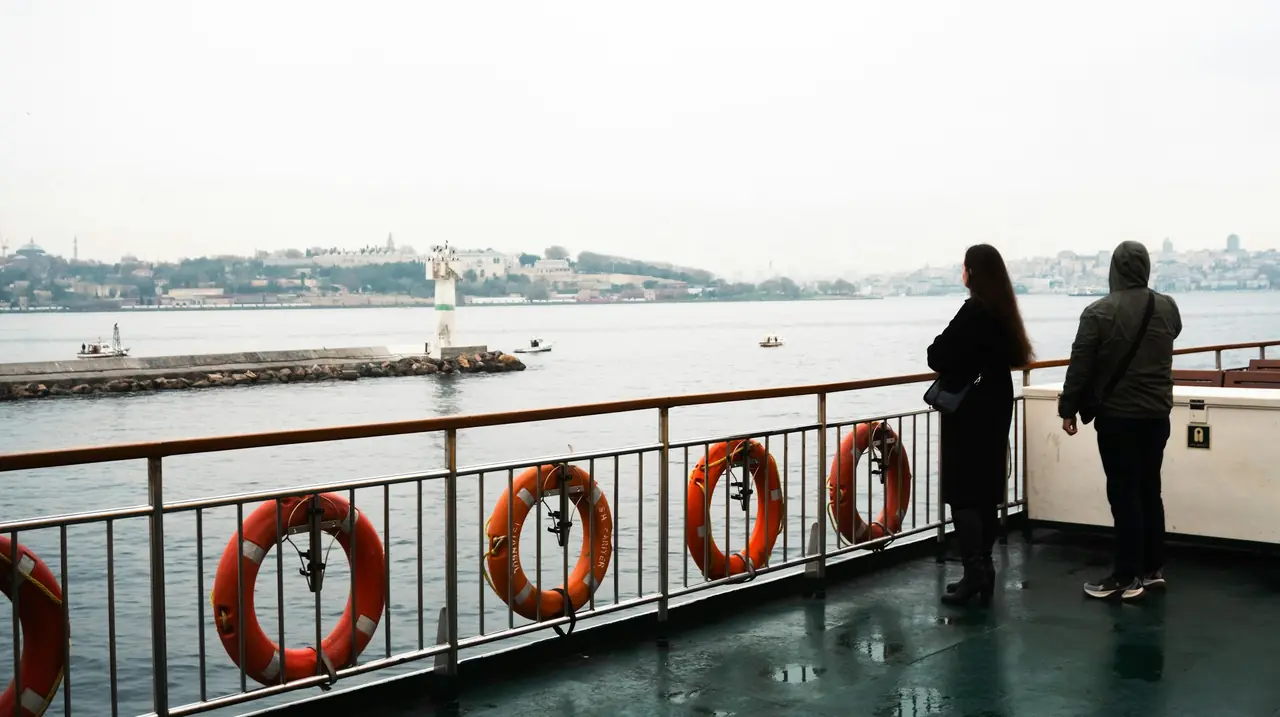
Timetables and boats
- Şehir Hatları
- Turyol
- Mavi Marmara
- İDO
Piers and service hours
- Dentur Avrasya
Worth knowing first
Positions are estimated, and we say so.
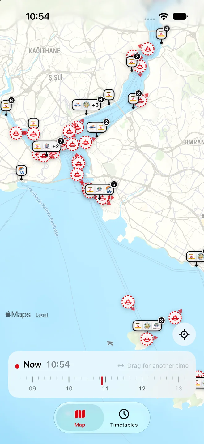
Iskelesi does not track boats by GPS. It works out where each ferry should be from the timetable its operator publishes: if a boat left Karaköy at 10:40 and is due at Kadıköy at 11:00, at 10:50 the map puts it halfway across.
So a late, early or cancelled boat can be shown in the wrong place. Estimated boats are drawn with a dashed ring and labelled "Estimated", and they are never shown as live. For anything that matters, check the operator's own announcements and the signs at the pier.
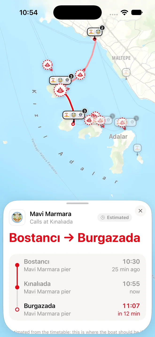
Tap a boat to see where it's going.
Each boat shows whose it is, where it came from and where it's heading, with every stop on the way and the time it's due there. Its line is drawn on the water, stop to stop.
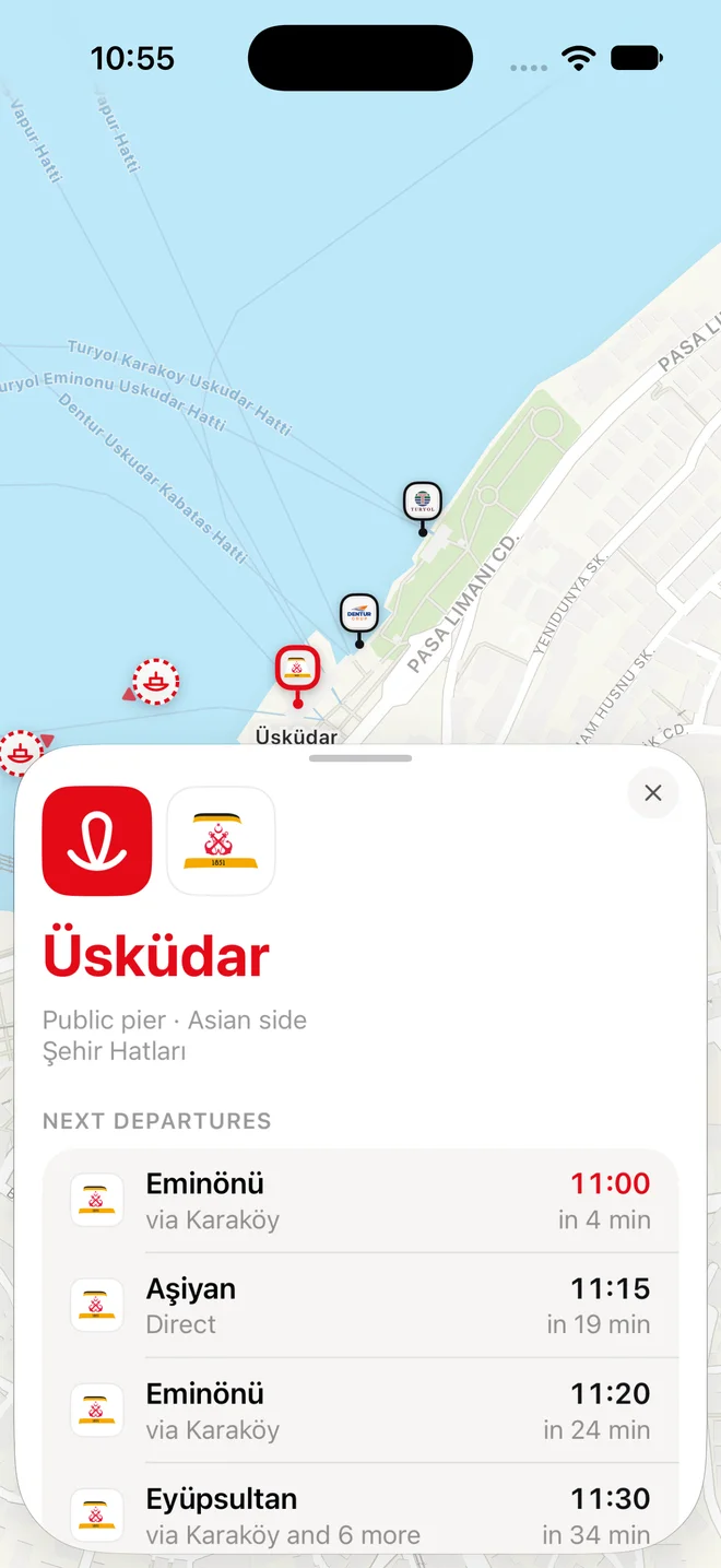
Tap a pier for its next departures.
See what leaves next, where it calls on the way and how many minutes you have. Each pier shows which operators sail from it, because in Istanbul the pier you want depends on whose boat you're catching.

Drag to another time of day.
Pull the time scrubber along and the map shows the boats that will be out at that moment: the last crossing tonight, or how busy the 08:00 rush is. One tap on Now brings you back.
Your location stays on your phone.
The app asks once, on a short welcome screen when you first open it, and you can say "Not now". If you allow it, your location is used for one thing: to place you on the map, on your own iPhone. It is never stored, never sent to us or anyone else, and never used to track you. The app works without it. Privacy policy
Timetables, with their sources.
Every pier is listed by shore with the operators that call there. Under each timetable is a link to the operator's own page it was read from, and when, so you can check it yourself. For Dentur Avrasya, which runs continuous service rather than fixed departures, you get its piers and service hours.

Coming soon to iPhone
Want to know when it's out, or spotted something wrong? Write to ferry@iskelesi.com